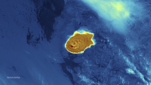
Credit NOAA (Click to Enlarge)
Credit NOAA (Click to Enlarge)
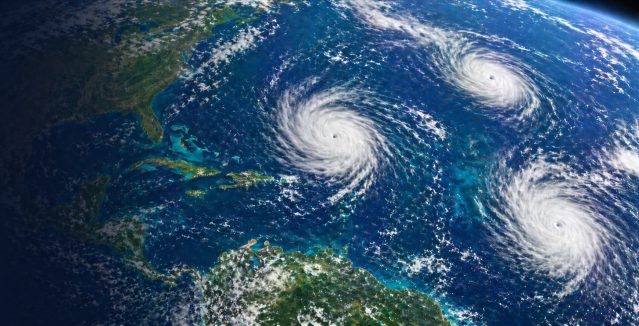
The Atlantic hurricane season runs June 1 through November 30 each year. Storms are named alphabetically from a predetermined list beginning with "A" through "W", excluding names beginning with "Q" or "U." A storm receives its…

Hurricanes are named alphabetically from a predetermined list beginning with the letter "A" through "W", excluding names beginning with "Q" or "U."A storm is first named by the National Hurricane Center when the system becomes a…
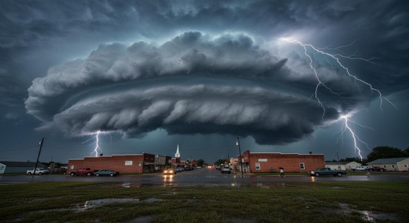
Thunderstorms are among the most powerful weather events on Earth. They can bring much needed rainfall, yet they also produce dangerous hazards such as lightning, hail, flash flooding, and tornadoes. Understanding how storms form, how they…