View All Articles

Rip Current Safety

Rip current awareness

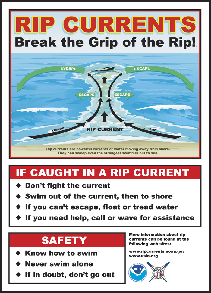
Rip Current Safety Chart (Click to Enlarge)

Stay safe at the beach this summer and know the signs of a rip current.

Rip Current:?“A small-scale surf-zone current moving away from the beach.? Rip currents form as waves disperse along the beach causing water to become trapped between the beach and a sandbar or other underwater feature.? The converges into a narrow, river-like channel moving away from the shore at high speed.” Although rip currents are not always obviously visible,? there are indicators to help you spot rip currents:
  • A channel of churning or choppy water
  • A line of sea foam, seaweed, or debris moving steadily out to sea
  • Different colored water beyond the surf zone
  • A break in the incoming wave pattern as waves roll onshore.

General characteristics of a rip current are shown in the photographs below:
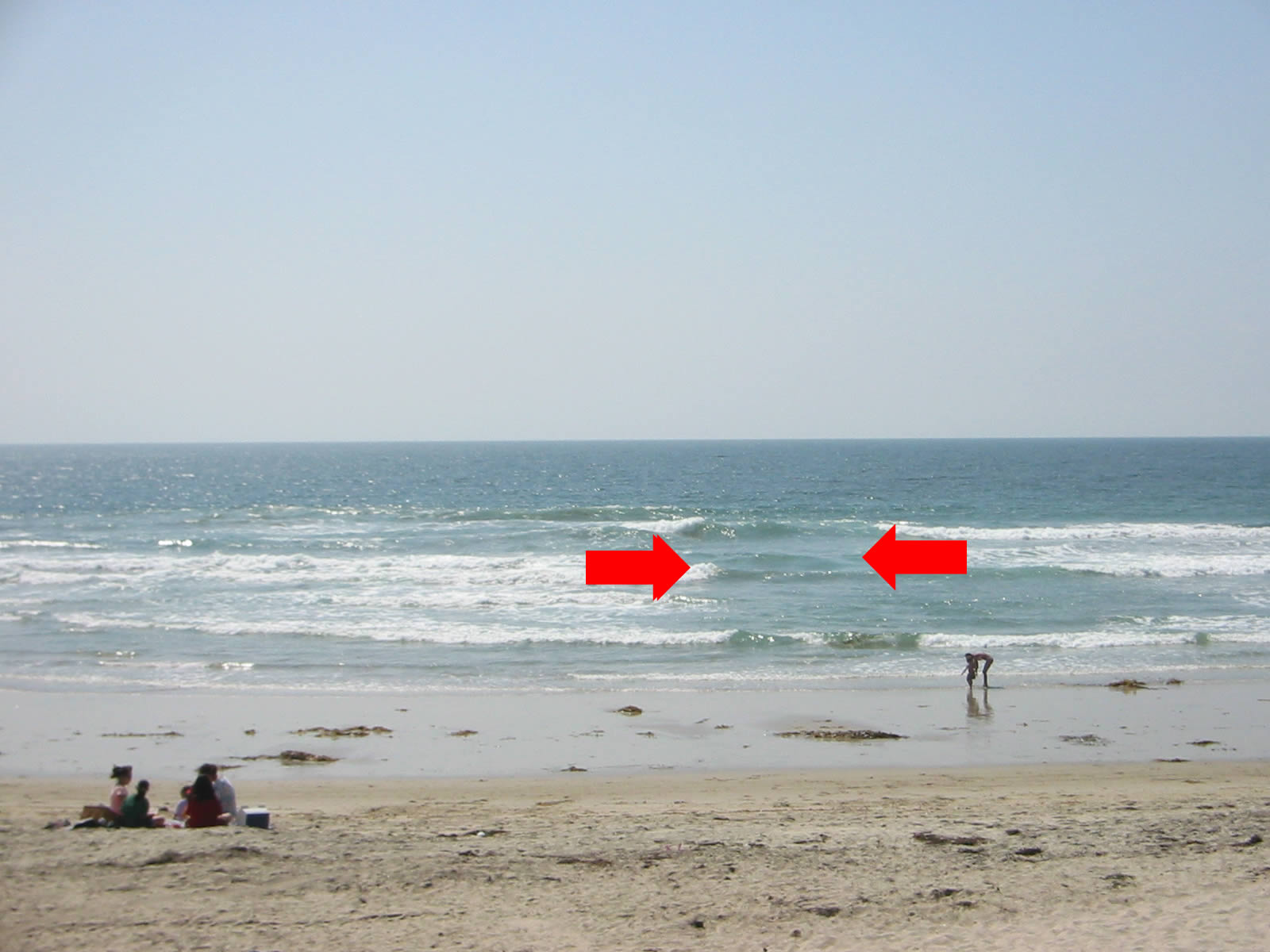
 
Rip current Example 1

Rip Current Example 1 (Click To Enlarge)
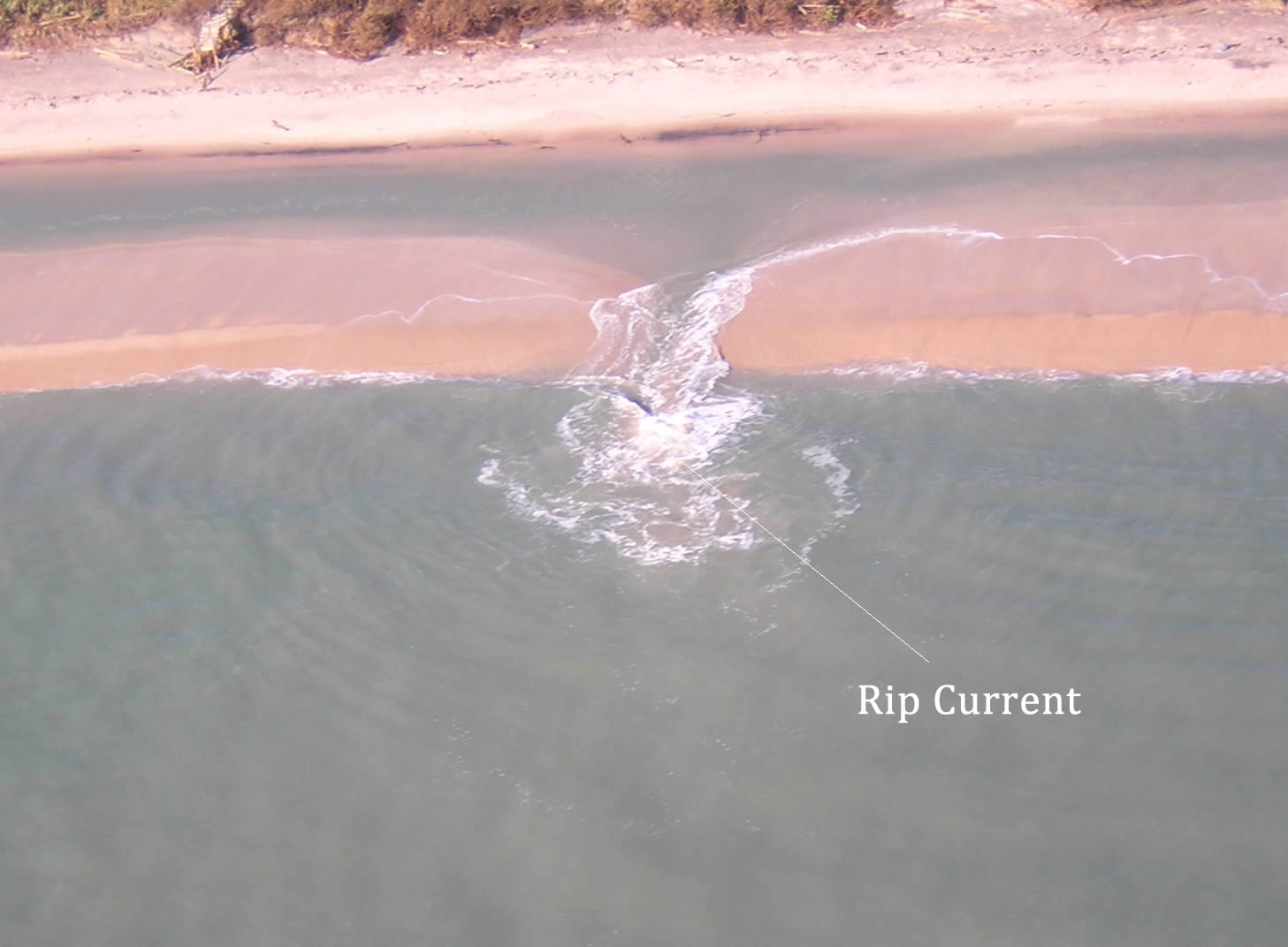
Rip current Example 3

Rip Current Example 2 (Click To Enlarge)
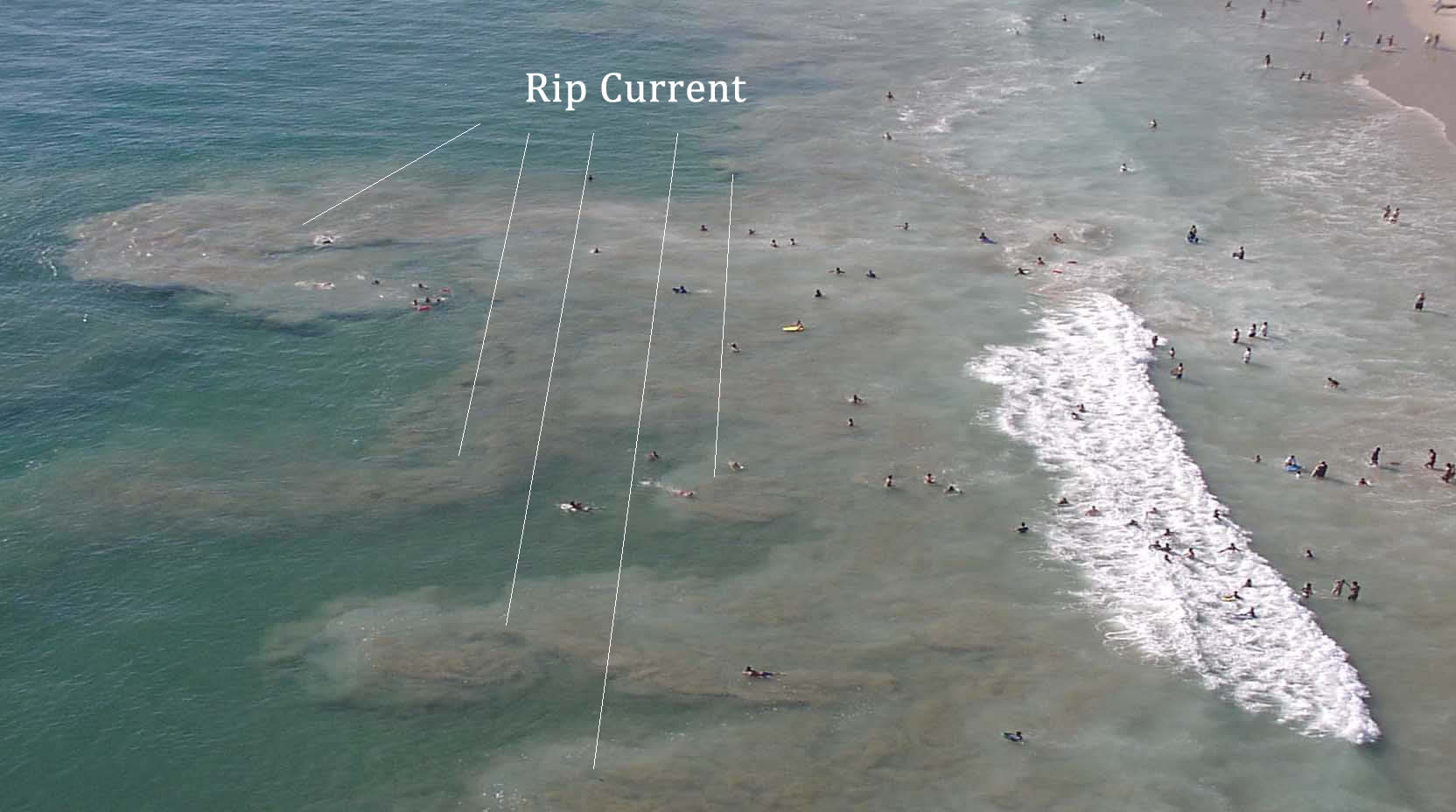
Rip current Example 2

Rip Current Example 3 (Click To Enlarge)

?What to do if caught in a rip current:

  • Stay calm
  • Swim along the shoreline, then on an angle back to shore
  • If unable to swim along the shore and out of rip current stay floating in rip current.? Eventually the pull will dissipate.? Turn around face shore, wave and yell for help.
Watch this Rip Current Awareness video:

This entry was posted in Weather Articles and tagged , , , , , , . Bookmark the permalink.

Leave a Reply

Read More

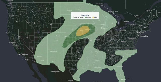
Nebraska Iowa severe storms SPC outlook map, Sept. 14, 2026: Slight Risk over Omaha and Des Moines inside a Marginal Risk

Nebraska Iowa Severe Storms: Slight Risk of Large Hail, Damaging Wind, and Tornadoes September 14, 2026

Nebraska Iowa severe storms are the main severe weather concern in the United States on Monday, September 14, 2026. The NOAA Storm Prediction Center (SPC) has placed eastern Nebraska into western and central Iowa under a…

Read More

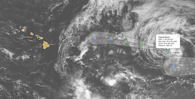
Tropical Storm Norbert forecast track on September 13, 2026, showing the 45 mph storm about 1,375 miles east of Hilo, Hawaii, weakening to a remnant low by Tuesday night

Tropical Storm Norbert Forecast: 45 mph Storm Weakens 1,375 Miles East of Hilo, Hawaii

iAlert hurricane tracker satellite view of the Tropical Storm Norbert forecast from the 11 AM HST advisory on Sunday, September 13, 2026, with the Hawaiian Islands highlighted. Green S markers show Norbert at tropical storm strength…

Read More

Tropical Storm Norbert forecast cone on September 12, 2026, tracking west over the East Pacific and weakening east of Hawaii

Tropical Storm Norbert Holds 60 mph Winds Far East of Hawaii, No Coastal Watches in Effect

iAlert hurricane tracker forecast track from the 5 AM HST advisory on Saturday, September 12, 2026. Green S markers show Norbert at tropical storm strength from Saturday through 2 AM Tuesday. Blue D markers show the…

Read More

Leave a Reply