
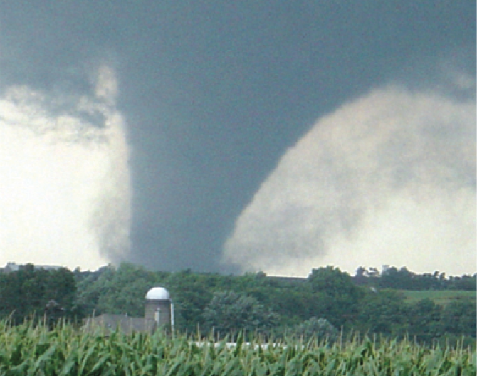
 Although tornadoes occur in many parts of the world, they are found most frequently in the United States. In an average year, 1,2000 tornadoes cause 60-65 fatalities and 1,500 injuries nationwide.
Learn How Tornadoes Form | Criteria for a Tornado Warning
Tornado Facts- A tornado is a violently rotating column of air extending from a cumuliform cloud, such as a thunderstorm, to the ground
- Tornadoes may appear nearly transparent until dust and debris are piked up or a cloud forms within the funnel.? The average tornado moves from southwest to northeast, but tornadoes can move in any direction and can suddenly change their direction of motion
- The average forward speed of a tornado is 30 mph but may vary from nearly stationary to 70 mph
- The strongest tornadoes have rotating winds of more than 200 mph
- Tornadoes can accompany tropical storms and hurricanes as they move onto land
- Waterspouts are tornadoes that form over warm water.? Water spouts can move onshore and cause damage to coastal areas
- Tornadoes can occur at any time of day, any day of the year
- Have a plan of action before severe weather threatens.? You need to respond quickly when a warning is issued or a tornado is spotted
- When conditions are warm, huid, and windy, or skies are threatening, monitor for severe weather watches and warnings at iAlert.com or signup to have severe weather alerts sent to your email or phone by text message


