View All Articles

What is a Nor’easter?

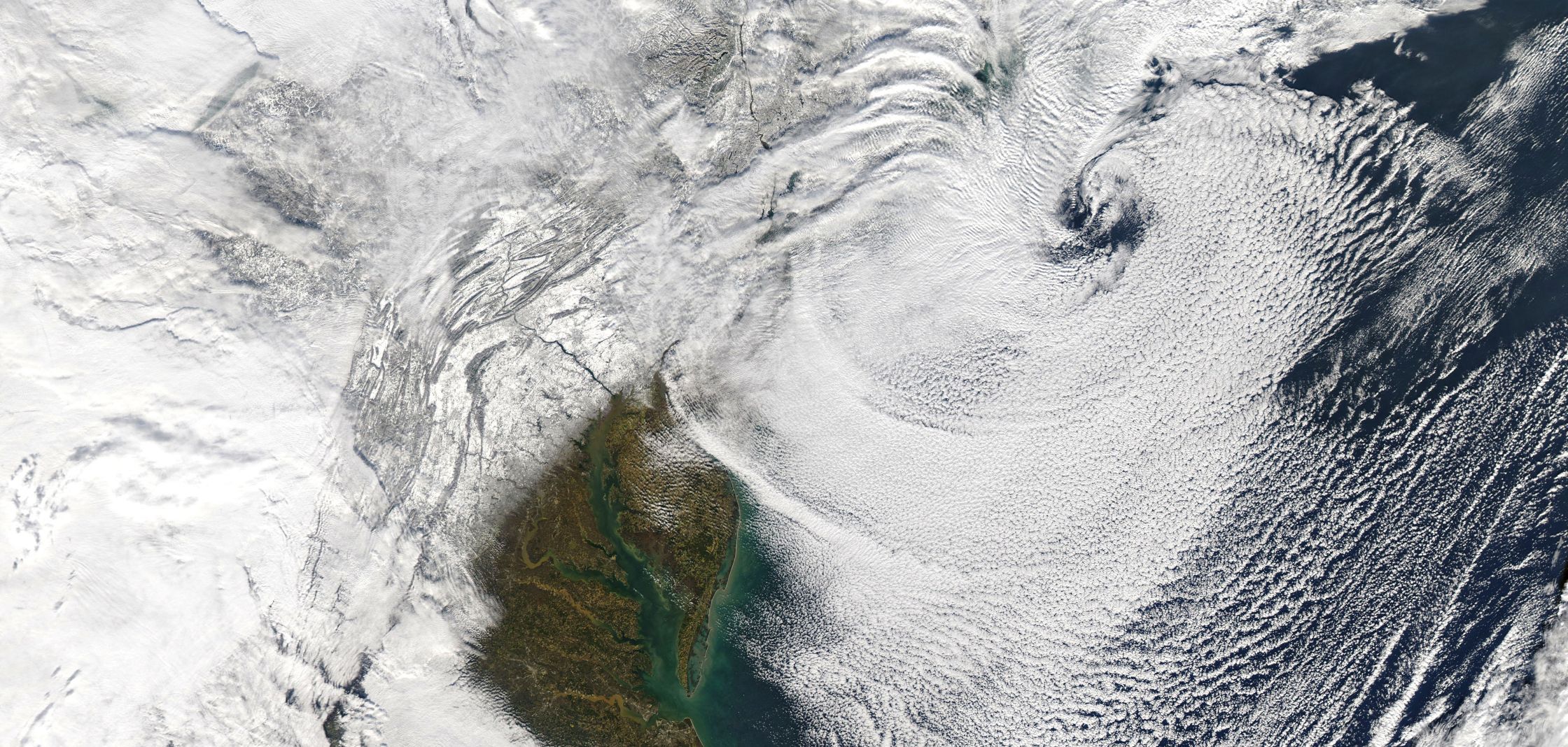
A Nor’easter is a storm along the East Coast of North America, so called because the winds over the coastal area are typically from the northeast.  These storms usually develop in the latitudes between Georgia and New Jersey, within 100 miles east or west of the East Coast. These storms progress generally northeastward and typically attain maximum intensity near New England and the Maritime Provinces of Canada. They nearly always bring precipitation in the form of heavy rain or snow, as well as winds of gale force, rough seas, and, occasionally, coastal flooding to the affected regions. The heavily populated region between Washington D.C., Philadelphia, New York and Boston, the “I-95 Corridor,” is especially impacted by Nor’easters. The U.S. East Coast provides an ideal breeding ground for Nor’easters. During winter, the polar jet stream transports cold Arctic air southward across the plains of Canada and the United States, then eastward toward the Atlantic Ocean where warm air from the Gulf of Mexico and the Atlantic tries to move northward. The warm waters of the Gulf Stream help keep the coastal waters relatively mild during the winter, which in turn helps warm the cold winter air over the water. This difference in temperature between the warm air over the water and cold Arctic air over the land is the fuel that feeds Nor’easters. For full article go to the National Weather Service public weather information page by clicking here

Related Articles:

This entry was posted in Basic Meteorology and tagged , , , . Bookmark the permalink.

Leave a Reply

Read More

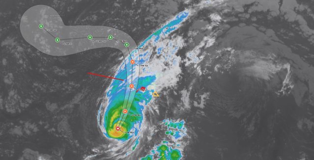
Hawaii Hurricane Lowell satellite image and forecast cone at 5 AM HST September 7, 2026: the Category 3 hurricane with 115 mph winds is 375 miles southwest of Lihue and forecast to pass near or just west of Niihau tonight, with a Hurricane Warning (red) for Kauai and Niihau and a Tropical Storm Watch (yellow) for Oahu.

Hawaii Hurricane Lowell: Tropical Storm Watch Issued for Oahu as Category 3 Approaches Kauai

iAlert hurricane tracker satellite view of Hawaii Hurricane Lowell at 5 AM HST Monday, September 7, 2026. The red M marker is Lowell as a Category 3 major hurricane southwest of the islands; orange H markers…

Read More

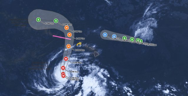
Hawaii Hurricane Lowell satellite image and forecast cone at 2 AM HST September 6, 2026: the Category 3 hurricane with 125 mph winds is 595 miles south-southwest of Lihue and forecast to turn north and cross Papahanaumokuakea just west of Kauai Monday night, while Tropical Storm Karina weakens east of the islands.

Hawaii Hurricane Lowell Remains Category 3 at 125 mph, Turns Toward Islands

iAlert hurricane tracker satellite view of Hawaii Hurricane Lowell at 2 AM HST Sunday, September 6, 2026. Red M markers show Lowell as a major hurricane through 8 AM Monday as it turns north; orange H…

Read More

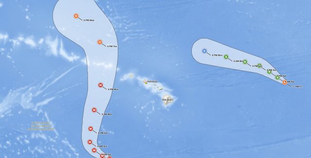
Hawaii Hurricane Lowell forecast cone at 11 PM HST September 4, 2026: the Category 4 hurricane south-southwest of Honolulu is forecast to turn north Sunday and pass west of Kauai County as a major hurricane Monday night, while Hurricane Karina weakens east of the islands

Hawaii Hurricane Lowell: 155 mph Cat 4 to Turn Toward Kauai

iAlert hurricane tracker view of the National Hurricane Center forecast cone for Hawaii Hurricane Lowell at 11 PM HST Friday, September 4, 2026. Red M markers show Lowell as a major hurricane through 8 PM Monday…

Read More

Leave a Reply