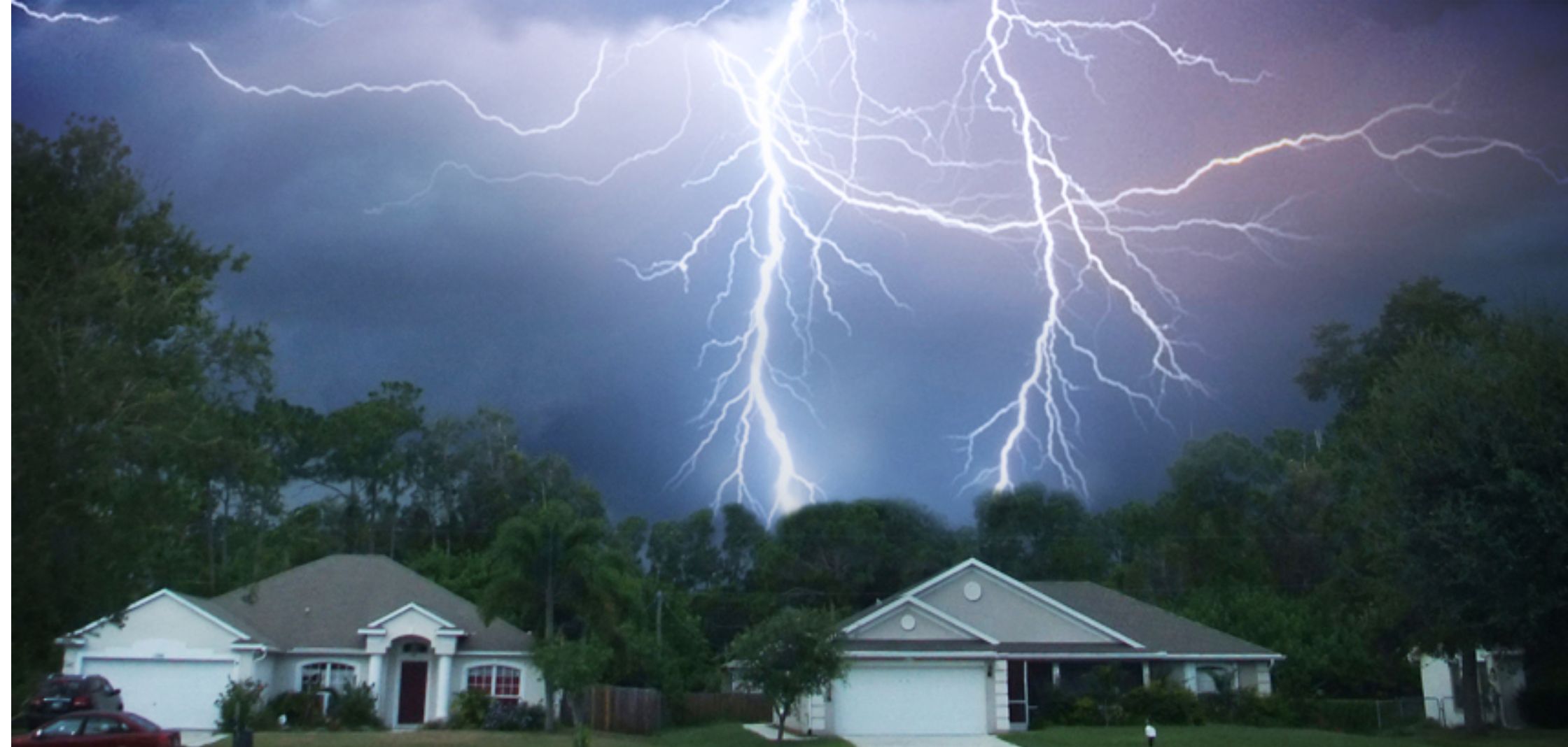
Two decades before the American Revolutionary War, noted inventor and scientist Benjamin Franklin had a strong curiosity when it came to the incredibly destructive force of lightning. Franklin is known for inventing one of the first lightning rods, which he used to prevent lightning from damaging buildings. More than 250 years have passed since Franklin discovered the lightning rod, and science today has advanced to point that lightning detection systems help businesses and government agencies make vital operational decisions.
Despite its incredible display, lightning is a deadly force of nature. A lightning strike can trigger cardiac arrest in addition to producing severe burns throughout the body. According to statistics compiled by National Weather Service Storm Data, the United States average 43 reported deaths per year between 1989 and 2018.
The immense power of lightning has motivated a new generation of inventors and scientists to develop lightning detection systems. In the United States, lightning detection systems capture more than 25 million lightning strikes coming from around 100,000 thunderstorms each year. The National Weather Service estimates the entire world receives an average of about 100 lightning strikes per second.
There is a monumental shift in how inventors and scientists view lightning. No longer do we react to lightning strikes. Instead, the emphasis is on prevention by developing advanced lightning detection systems and advance
lightning strike notification services.
What is a Lightning Detector?
Advanced planning is the goal to prevent lightning from hurting people and damaging buildings. At the heart of prevention is a lightning detection system. When a lighting detection system alerts a monitor about the imminent arrival of lighting, the monitor gives the command to shut down operations until the storm has passed. A growing number of lightning detection systems send out an “all clear” message after a lightning threat has ended. Lightning detection systems can reduce the legal liability associated with failing to alert customers at a business or spectators at a ball game about a pending storm.
Here is a list of available technologies in 2020 that produce lightning detection systems:
- Computer networks
- Radio Frequency (RF)
- Interferometers
- Electric Field Mills (EFMs)
- Optical monitors
Lightning Detection Capabilities in the United States
The capabilities of lightning detection systems constantly evolve to reduce the amount of time it takes to discover the potential for lightning, and then alert interested parties to the potential for lightning strikes. There are four main types of lightning detection systems.
Lightning Detection Network
Two different networks operate in the United States to detect and plot out real-time cloud-to-ground and intra-cloud lightning strikes. Owned and operated by Vaisala Inc., the National Lightning Detection Network (NLDN) competes with Earth Networks’ Total Lightning Network. Both networks operate by detecting radio waves that emanate from super-fast electric currents moving through lightning. Referred to as strokes, the electric currents provide monitors with an early warning sign of the potential for a lightning flash. Although a very expensive service, both systems can detect more than one stroke for every lightning flash.
Geostationary Lightning Mapper
Launched on two weather satellites in 2016 and 2018, the Geostationary Lightning Mapper (GLM) maps all lighting strikes around the clock over North America, Central America, and South America, as well as adjacent areas of the ocean. GLM closely monitors optical emissions of lighting that resemble what we see with our own eyes. The lightning detection system can record the brightness of lightning flashes, the amount of area a lightning flash covers, and how many lightning flashes occur over a designated area. GLM is similar to an incredibly fast infrared camera because it detects narrow bands of light that differ from the light projected from other sources.
Lightning Mapping Arrays
Three-dimensional mapping of the channel segments distributed by lightning strikes forms the scientific basis for Lightning Mapping Arrays (LMAs). LMAs used for research purposes operate in Oklahoma, northern Alabama, and the Texas panhandle. The Kennedy Space Center located in the lightning capital of the United States (Florida) also uses LMA technology to detect lightning strikes. LMA systems produce a mobile array of lighting observations that coordinate with field observation projects. The systems also detect radio noise at a high frequency of 60 MHz. Up to seven stations operate at the same time to minimize detection errors.
In addition to the three main types of lightning detection systems, a Lightning Imaging Sensor (LIS) mounted on the International Space Station in 2017. A LIS produces a clearer resolution than the resolution produced by a GLM, but it has a limited capability because it scans a smaller area than the area scanned by a LIS.
Lightning Strike Notification Service
iAlert Services LLC (iAlert.com) monitors real-time lightning strikes across United States to offer
email and text message notification of observed lightning as well as for other weather parameters including temperature, windchill, heat index, wind speed, rainfall and more through the
observation alert monitoring service.
These services are low cost and highly reliable, perfect for construction, landscaping, sporting, outdoor entertainment venues, agricultural industries and more. Lightning notification helps protect business critical infrastructure and people.
Related Articles:



