
View All Articles

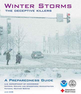
Winter Storms | A Preparedness Guide


Did you know…..

Each year, dozens of Americans die due to exposure to cold.  Add to that number, vehicle accidents and fatalities, fires due to dangerous use of heaters and other winter weather fatalities and you have a significant threat. Threats, such as hypothermia and frostbite, can lead to loss of fingers and toes or cause permanent kidney, pancreas and liver injury and even death.  You must prepare properly to avoid these extreme dangers.  You also need to know what to do if you see symtoms of these threats. A major winter storm can last for several days and be accompanied by high winds, freezing rain or sleet, heavy snowfall and cold temperatures. People can become trapped at home or in a car, without utilities or other assistance. Attempting to walk for help in a winter storm can be a deadly decision. The aftermath of a winter storm can have an impact on a community or region for days, weeks, or even months. Extremely cold temperatures, heavy snow and coastal flooding can cause hazardous conditions and hidden problems. Learn more to protect you and your family from dangerous winter weather conditions. Download the Winter Storm Preparedness Guide and include iAlert.com weather alert services in your preparedness plans   Winter Storm Preparedness Guide

This entry was posted in Weather Articles and tagged , , , , , , , . Bookmark the permalink.

Leave a Reply

Read More

Southern Plains severe storms SPC Day 1 outlook for October 14, 2026, with a Slight Risk over Oklahoma and West Texas and Marginal Risk areas fromTulsa to the Mid-Atlantic

Southern Plains Severe Storms: SPC Slight Risk for Oklahoma and West Texas on October 14, 2026

Southern Plains severe storms are the main severe weather concern across the country on Wednesday, October 14, 2026, with the NOAA Storm Prediction Center placing Oklahoma City, Lawton and Ardmore in Oklahoma, along with Midland, Odessa…

Read More

Panama earthquake USGS ShakeMap showing M7.7 epicenter near Pitaloza Arriba on the Azuero Peninsula, October 9, 2026

Panama Earthquake: Magnitude 7.7 Strikes Near Pitaloza Arriba, USGS Issues RED Alert

USGS ShakeMap of the M7.7 Panama earthquake. The star marks the epicenter; red and orange contours show the strongest estimated shaking. Source: U.S. Geological Survey. A powerful Panama earthquake struck the Azuero Peninsula on Friday, October…

Read More

Hurricane Isaias landfall forecast track map showing the NHC cone from the Gulf of Mexico to the Alabama and Florida Panhandle coast with Gulf Coast warnings, October 9, 2026

Hurricane Isaias Landfall Expected Tonight on the Northern Gulf Coast as Storm Nears Major Hurricane Strength

Hurricane Isaias position at 7 AM CDT Friday, October 9, 2026, with the NHC forecast track and cone toward the northern Gulf Coast and active coastal and inland warnings. Map: iAlert.com Hurricane Isaias landfall is expected…

Read More

Leave a Reply

