View All Articles

2019 Spring Outlook: Historic, widespread flooding to continue through May

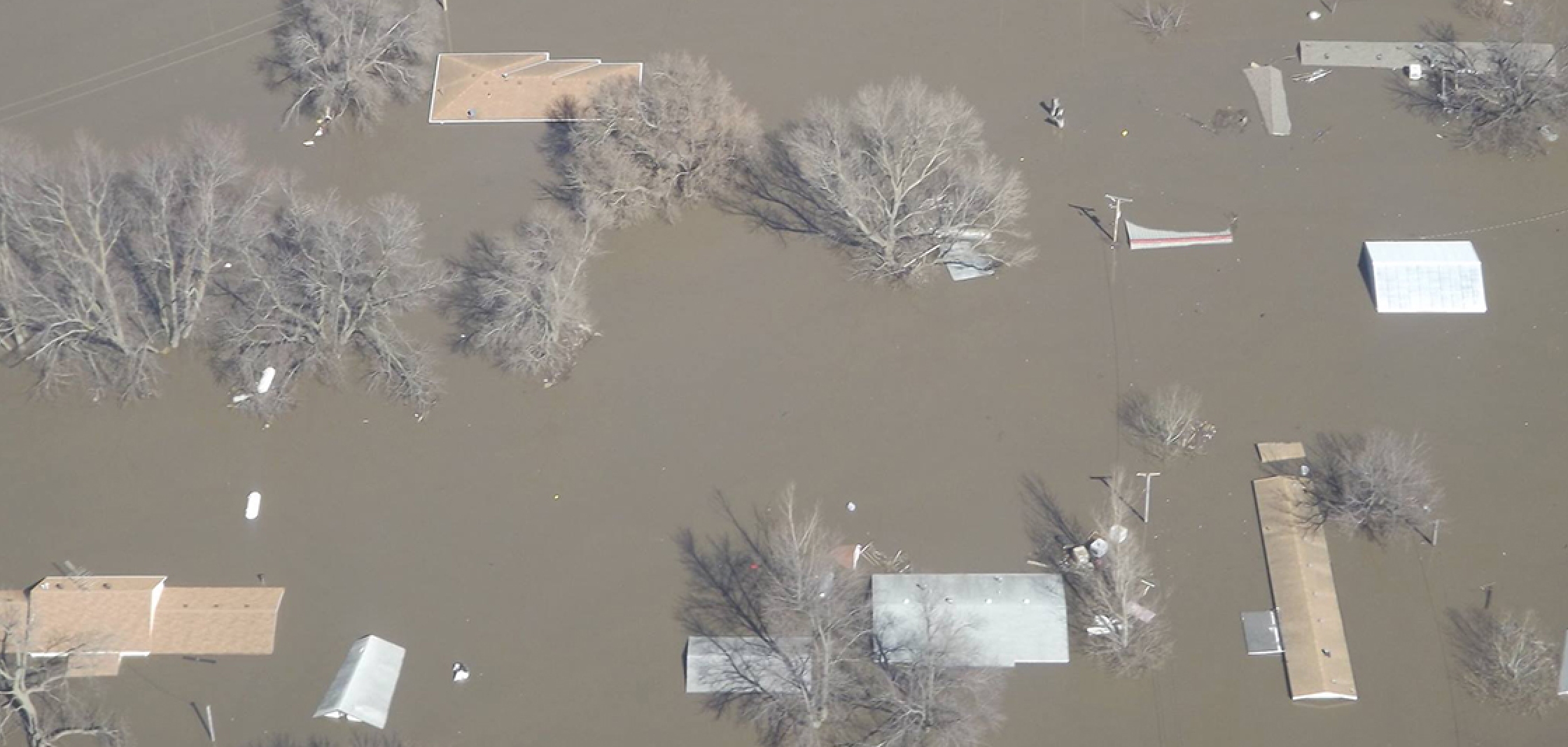
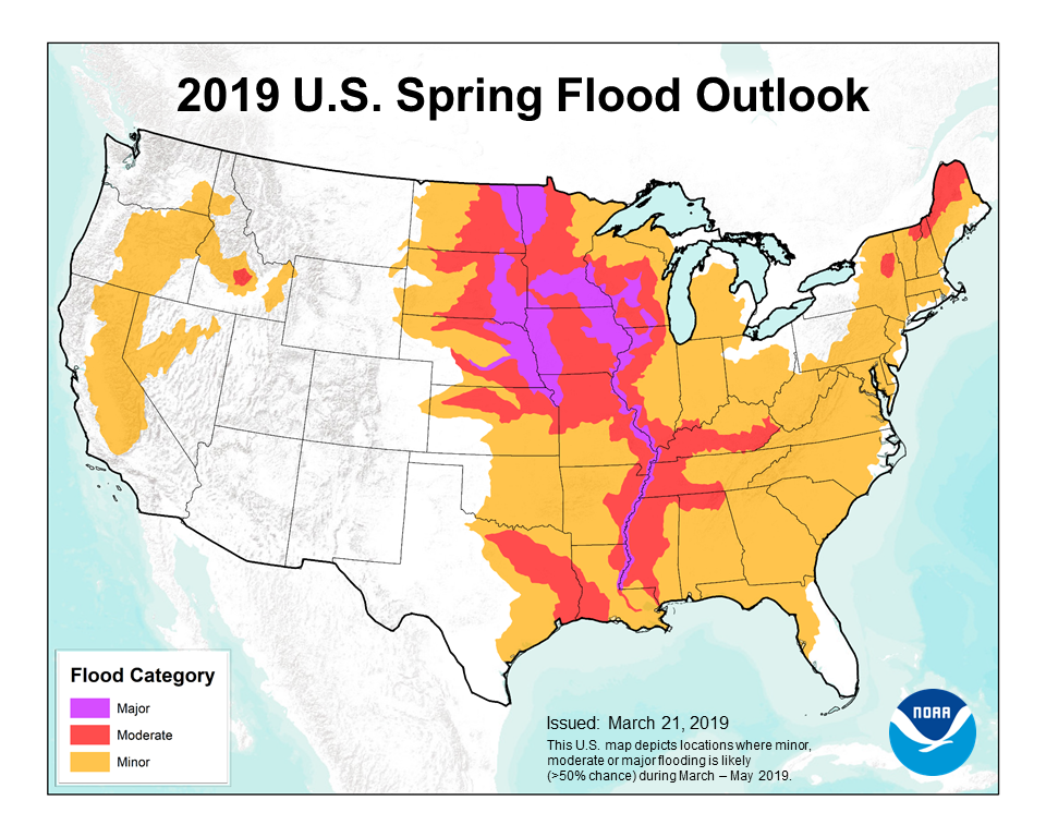
[Source: NOAA] This winter has brought above to much above normal precipitation to much of the United States. Several portions of the country received accumulated precipitation exceeding 200% of average to date. Heavy rainfall mid-February through mid-March brought flooding across much of the Mississippi River Basin and its tributaries. Heavy rainfall on snow in mid-March brought significant flooding – including record flooding – to the Lower Missouri River Basin. Additionally, accumulated snowpack has been higher than normal in the Upper Mississippi Valley, the Plains of the Missouri River Basin, Red River of the North, and the Great Lakes basins. Basins with an increased risk of moderate to major flooding are as follows: the Upper, Middle, and Lower Mississippi River, lower Missouri, Red River of the North, Lower Ohio, Lower Cumberland, and Tennessee River basins. Additionally, an elevated risk of moderate flooding exists for basins in the Northeast as follows: the St. John, Penobscot, and Upper Hudson River basins. Minor flooding is expected across much of the region east of the Mississippi River, as well as the Pacific Northwest, and Sierra Nevada basins. Minor to isolated moderate flooding is also projected for the central Idaho tributaries to the Snake River as follows: the Big Lost, Wood, Upper Boise, Payette, and Weiser River basins.
In Alaska, the spring breakup flood potential is forecast to be normal to below normal. Timing is expected to be slightly earlier than the median based on lower then normal ice thicknesses and higher than normal forecast temperatures.

The spring flood outlook for the Mississippi River system is anticipated to create conditions conducive to hypoxia development and lead to an above average to large hypoxic zone in the northern Gulf of Mexico this summer. Nutrient loads from river discharge into the Chesapeake Bay are projected to produce an average hypoxia zone this summer.  
Related Articles:

This entry was posted in Weather Articles and tagged , . Bookmark the permalink.

Leave a Reply

Read More

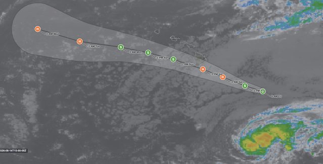
Hawaii tropical storm Lala forecast track and infrared satellite image for August 14, 2026, showing the National Hurricane Center cone carrying the center to hurricane strength just south of the Big Island on Saturday before it passes south of Oahu and Kauai on Sunday

Hawaii Tropical Storm Lala: Hurricane Warning Issued for Big Island as Storm Approaches

Hawaii tropical storm Lala on infrared satellite at 1500 UTC August 14, 2026, with the NHC forecast cone. Orange markers are hurricane intensity, green are tropical storm. The center reaches hurricane strength early Saturday and passes…

Read More

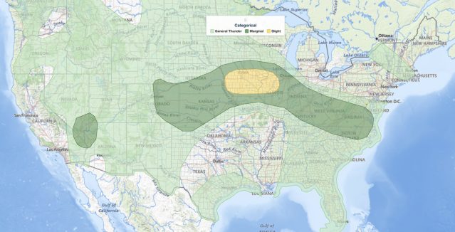
Missouri Valley severe thunderstorms SPC categorical risk map for August 14, 2026, showing a Slight Risk across Iowa from Omaha and Council Bluffs east through Des Moines and the Quad Cities to Peoria, inside a broad Marginal Risk from Colorado to the Mid-Atlantic

Missouri Valley Severe Thunderstorms: Slight Risk of Damaging Wind and Tornado Threat August 14, 2026

Missouri Valley severe thunderstorms are the headline concern in the NOAA Storm Prediction Center's Day 1 Convective Outlook issued at 12:47 UTC on August 14, 2026, with a Slight Risk covering a corridor from Omaha, Nebraska,…

Read More

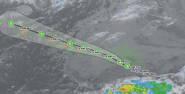
Hawaii tropical storm forecast track for Potential Tropical Cyclone One-C on August 13, 2026, showing the National Hurricane Center forecast cone crossing the Hawaiian Islands from Friday night into Monday with the center passing near Hilo and Honolulu

Hawaii Tropical Storm Threat: Potential Tropical Cyclone One-C Targets the Islands

Forecast track and cone for Potential Tropical Cyclone One-C, valid 12:00 UTC August 13, 2026 (2 a.m. HST). The track carries the center from east-southeast of the Big Island on Thursday to near or over the…

Read More

Leave a Reply