
Wind
0 mph
N
Local Forecast
Current conditions, 5-day forecast, active weather alerts for Osprey, FL
Get Alerts No Active Alerts
Hour-by-Hour Current Observation
Clear
Wind
0 mph
N
UV Index
6
High
Humidity
78%
Dew 66°F
Sun
6:49 AM · 5:39 PM
Rise · Set
Source: SARASOTA/BRADENT (KSRQ). Slider scrubs the next 12 hours.
5-Day Outlook
Today
Overcast
Overnight: Chance of Rain
Today
Mostly cloudy, with a high near 80. Northwest wind 5 to 9 mph.
Night
A chance of rain showers between midnight and 3am. Mostly cloudy, with a low around 65. Northwest wind 7 to 13 mph, with gusts as high as 18 mph. Chance of precipitation is 30%. New rainfall amounts less than a tenth of an inch possible.
Friday
Mostly Cloudy
Overnight: Mostly Clear
Friday
Partly sunny. High near 74, with temperatures falling to around 70 in the afternoon. North wind 12 to 16 mph, with gusts as high as 21 mph. New rainfall amounts less than a tenth of an inch possible.
Night
Mostly clear, with a low around 54. North wind 10 to 14 mph, with gusts as high as 21 mph.
Saturday
Mostly Sunny
Overnight: Mostly Clear
Saturday
Sunny, with a high near 67. North wind 10 to 14 mph, with gusts as high as 21 mph.
Night
Mostly clear, with a low around 50. Northeast wind 8 to 12 mph, with gusts as high as 18 mph.
Sunday
Mostly Sunny
Overnight: Partly Cloudy
Sunday
Sunny, with a high near 75. Northeast wind around 13 mph, with gusts as high as 18 mph.
Night
Partly cloudy, with a low around 60. East northeast wind 12 to 16 mph, with gusts as high as 21 mph.
Monday
Slight Chance of Showers
Overnight: Slight Chance of Rain
Monday
A slight chance of rain showers after 7am. Mostly sunny, with a high near 77. East northeast wind 16 to 20 mph, with gusts as high as 26 mph. Chance of precipitation is 20%.
Night
A slight chance of rain showers. Mostly cloudy, with a low around 64. Chance of precipitation is 20%.
Osprey, FL Weather Analysis Tools
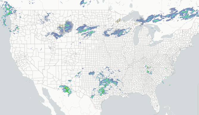
Regional Radar
Composite reflectivity with Lightning overlay.
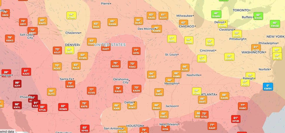
Regional Observations
Regional & historic weather conditions near Osprey, FL.
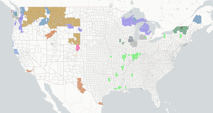
Active Alerts
Per-location alert detail and NWS source feeds.
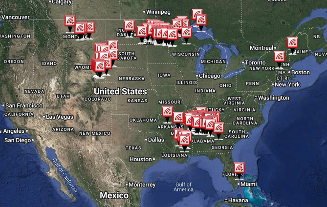
Storm Reports
Recent storm reports including wind, hail, and tornadoes.
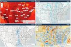
Model Analysis
Interactive forecast model guidance.
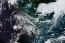
Satellite Imagery
GOES-East and GOES-West, visible and infrared.