
Wind
9 mph
ESE
Local Forecast
Current conditions, 5-day forecast, active weather alerts for Clarksburg, NJ
Get Alerts No Active Alerts
Hour-by-Hour Current Observation
Cloudy
Wind
9 mph
ESE
UV Index
3
Moderate
Humidity
72%
Dew 48°F
Sun
6:42 AM · 4:41 PM
Rise · Set
Source: TRENTON (KTTN). Slider scrubs the next 12 hours.
5-Day Outlook
Today
Thunderstorms
Overnight: Rain Likely
Today
A chance of rain showers before noon, then showers and thunderstorms. Cloudy. High near 62, with temperatures falling to around 54 in the afternoon. Southeast wind 5 to 15 mph. Chance of precipitation is 100%. New rainfall amounts between a half and three quarters of an inch possible.
Night
Rain showers. Cloudy, with a low around 37. North wind 5 to 10 mph, with gusts as high as 25 mph. Chance of precipitation is 90%. New rainfall amounts between a half and three quarters of an inch possible.
Friday
Rain
Overnight: Slight Chance of Rain/Snow Mix
Friday
Rain. Cloudy, with a high near 45. North wind 10 to 15 mph. Chance of precipitation is 100%. New rainfall amounts between a tenth and quarter of an inch possible.
Night
A chance of rain before 4am, then a slight chance of rain and snow. Mostly cloudy, with a low around 31. Northwest wind around 10 mph. Chance of precipitation is 50%. New rainfall amounts less than a tenth of an inch possible.
Saturday
Mostly Cloudy
Overnight: Partly Cloudy
Saturday
A slight chance of rain and snow before 7am. Mostly cloudy, with a high near 47. Northwest wind 5 to 10 mph. Chance of precipitation is 20%.
Night
Partly cloudy, with a low around 31.
Sunday
Mostly Cloudy
Overnight: Partly Cloudy
Sunday
Mostly sunny, with a high near 50.
Night
Partly cloudy, with a low around 32.
Monday
Partly Sunny
Overnight: Mostly Clear
Monday
Mostly sunny, with a high near 51.
Night
Mostly clear, with a low around 29.
Clarksburg, NJ Weather Analysis Tools
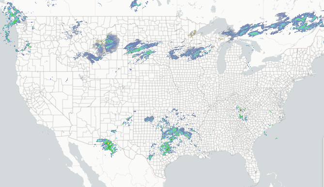
Regional Radar
Composite reflectivity with Lightning overlay.
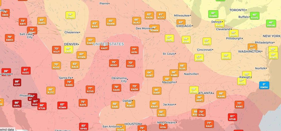
Regional Observations
Regional & historic weather conditions near Clarksburg, NJ.
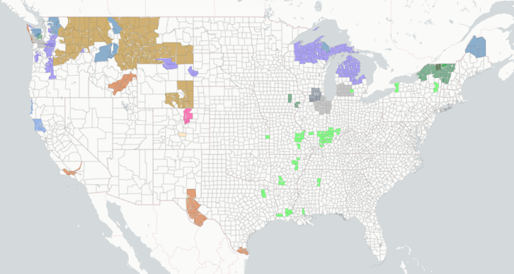
Active Alerts
Per-location alert detail and NWS source feeds.
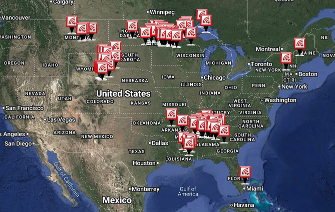
Storm Reports
Recent storm reports including wind, hail, and tornadoes.
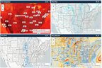
Model Analysis
Interactive forecast model guidance.
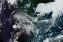
Satellite Imagery
GOES-East and GOES-West, visible and infrared.