
Wind
5 mph
NNE
Local Forecast
Current conditions, 5-day forecast, active weather alerts for Christoval, TX
Get Alerts No Active Alerts
Hour-by-Hour Current Observation
Fog/Mist
Wind
5 mph
NNE
UV Index
1
Low
Humidity
94%
Dew 50°F
Sun
7:05 AM · 5:46 PM
Rise · Set
Source: SAN ANGELO (KSJT). Slider scrubs the next 12 hours.
5-Day Outlook
Sunday
Rain
Overnight: Thunderstorms
Sunday
Rain showers. Mostly cloudy, with a high near 61. Northeast wind around 5 mph. Chance of precipitation is 100%. New rainfall amounts between a half and three quarters of an inch possible.
Night
Rain showers before 9pm, then showers and thunderstorms. Mostly cloudy. Low around 52, with temperatures rising to around 55 overnight. East northeast wind 0 to 5 mph. Chance of precipitation is 80%. New rainfall amounts between a tenth and quarter of an inch possible.
Monday
Rain Showers Likely
Overnight: Mostly Cloudy
Monday
Rain showers. Mostly cloudy, with a high near 65. Southeast wind 0 to 5 mph. Chance of precipitation is 80%. New rainfall amounts less than a tenth of an inch possible.
Night
Mostly cloudy, with a low around 53. South wind 0 to 5 mph.
Tuesday
Mostly Cloudy
Overnight: Mostly Cloudy
Tuesday
Partly sunny, with a high near 69. South southwest wind around 5 mph.
Night
Partly cloudy, with a low around 52. South southwest wind around 5 mph.
Wednesday
Mostly Sunny
Overnight: Mostly Clear
Wednesday
Mostly sunny, with a high near 73. West northwest wind 0 to 5 mph.
Night
Mostly clear, with a low around 48. North northwest wind around 0 mph.
Thursday
Clear
Overnight: Clear
Thursday
Sunny, with a high near 70. North northwest wind 0 to 5 mph.
Night
Clear, with a low around 44.
Christoval, TX Weather Analysis Tools
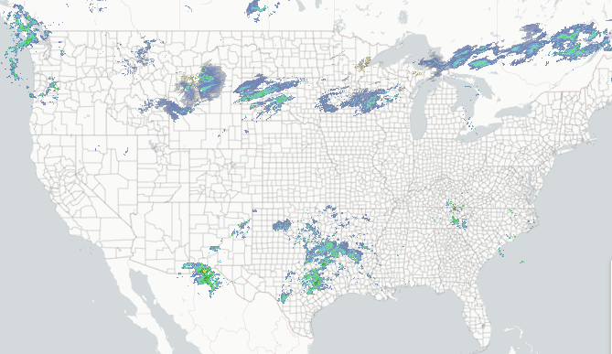
Regional Radar
Composite reflectivity with Lightning overlay.
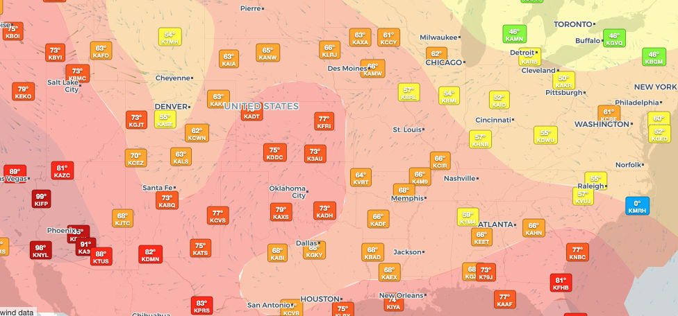
Regional Observations
Regional & historic weather conditions near Christoval, TX.
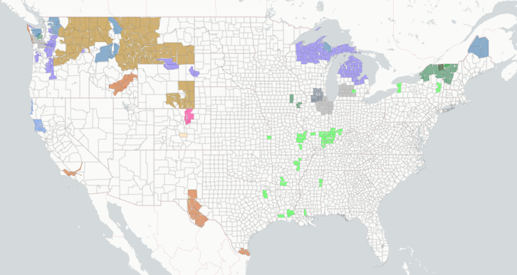
Active Alerts
Per-location alert detail and NWS source feeds.
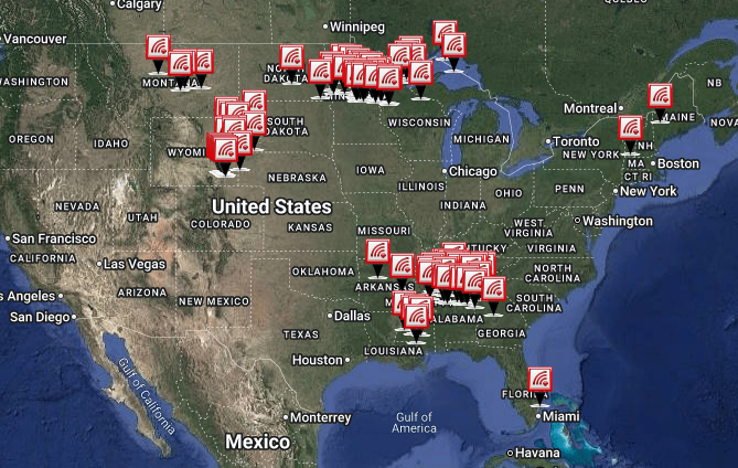
Storm Reports
Recent storm reports including wind, hail, and tornadoes.
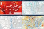
Model Analysis
Interactive forecast model guidance.
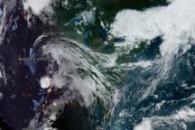
Satellite Imagery
GOES-East and GOES-West, visible and infrared.