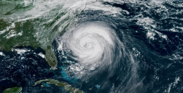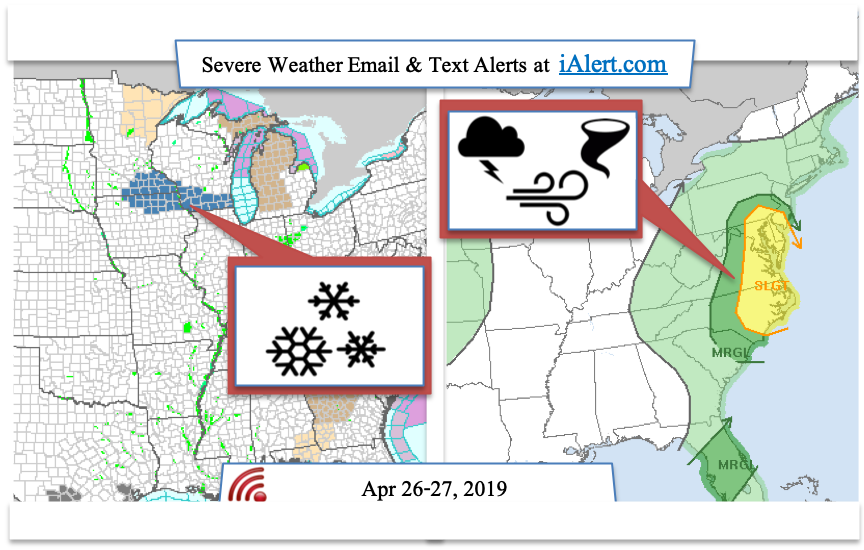
A very complex weather for the upper midwest and along the eastern shore states is forecast to bring snow for portions of Minnesota, Wisconsin and Iowa and severe thunderstorms and tornadoes for Pennsylvania, Maryland, Delaware, Virginia, and North Carolina. Regional forecast information is provided in this article below and to search for local weather alerts by city name or zip code go to
iAlert.com/wxsearch
Snow for Minnesota, Wisconsin, & Iowa:
A band of heavy snow is forecast for portions of southwest and west central Wisconsin, northeast Iowa, and southeast Minnesota on Saturday April 27, 2019. Snowfall rates for this storm are expected to be 1 to 2 inches per hour with a storm total up to 9 inches of slushy accumulation.? Strong winds are also expected which will significantly reduce visibility and making travel hazardous. Confidence is high on the timing of this system, however the exact location of greatest snow fall is difficult to predict. Those impacted by this storm are encouraged to monitor conditions closely at
iAlert.com/wxsearch.
Winter storm watch is in effect from Saturday morning through Saturday evening for:
- Heavy snow possible. Total snow accumulations of 4 to 9
inches possible. Winds could gust as high as 35 mph.
- WHERE…Portions of southwest and west central Wisconsin, northeast
Iowa, and southeast Minnesota
- WHEN…From Saturday morning through Saturday evening.
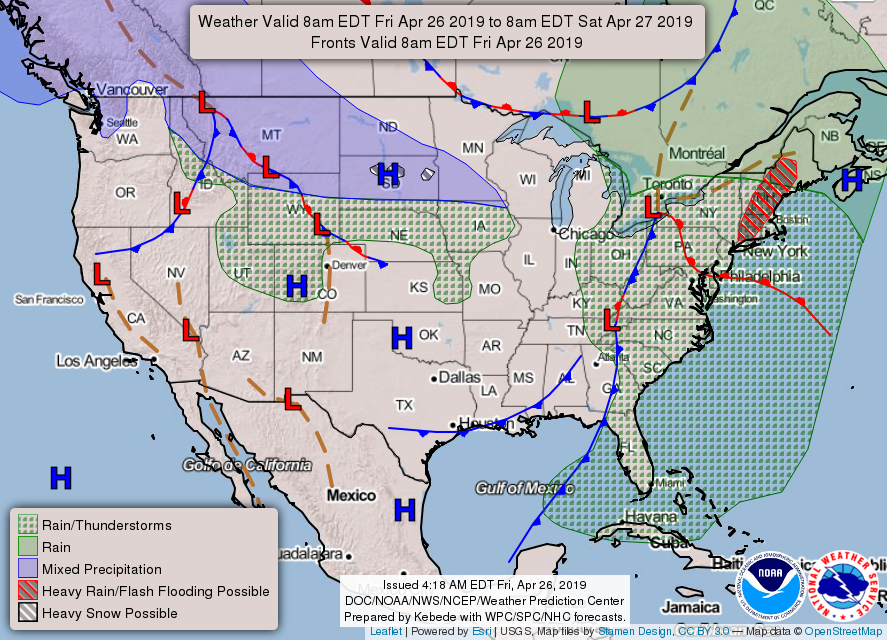
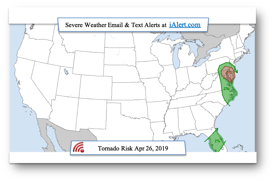
Severe Weather for Pennsylvania, Maryland, Delaware, Virginia, and North Carolina
Thunderstorms capable of producing damaging wind and
tornadoes are expected from North Carolina into the Middle Atlantic Friday. Isolated
damaging wind gusts are also possible over northern Utah, southeast Idaho, southwest Wyoming and northwest Colorado. Other storms may produce a few strong wind gusts over a portion of the Florida Peninsula.
Area under the greatest risk of tornadoes for Friday April 26, 2019 is Maryland, Delaware, broader Washington DC area. Residence in this area are strongly
encouraged to monitor conditions closely throughout the day.
Related Articles: