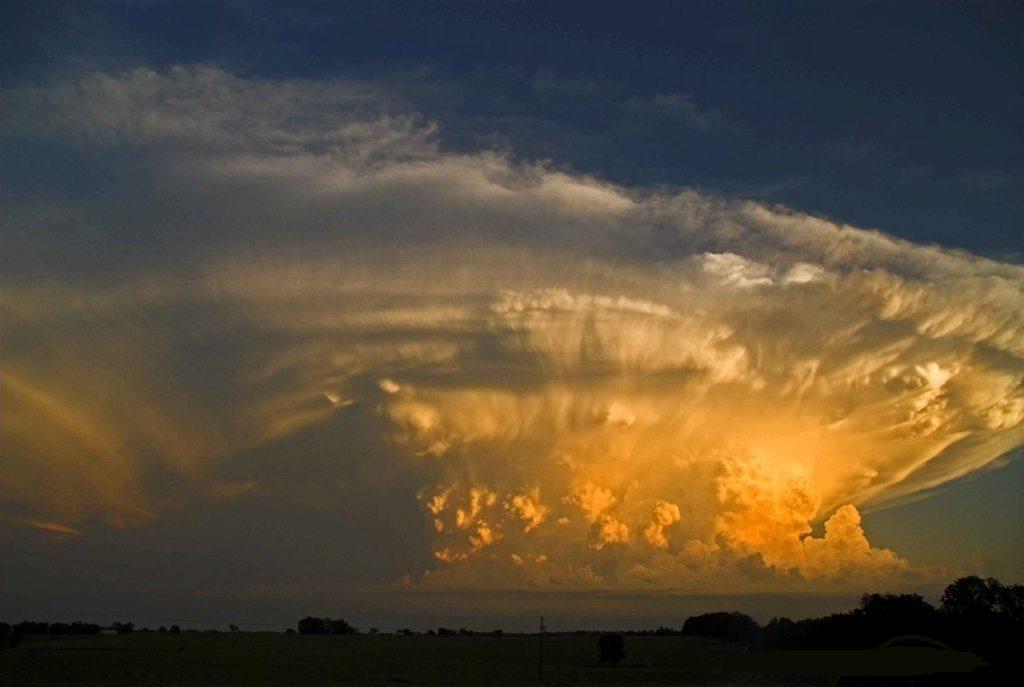
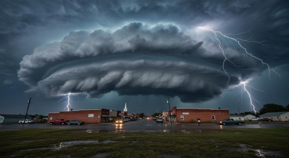
A Supercell is a severe thunderstorm with a deep, persistently rotating updraft (a mesocyclone). Supercell thunderstorms are the largest, most severe class of thunderstorms. It has been argued that there are really only two types of thunderstorms: supercell and ordinary, though some have four classifications: single-cell, multi-cell, squall line, and supercell.
Supercells are usually found isolated from other thunderstorms, although they can sometimes be embedded in a squall line. Because they can last for hours, they are known as quasi-steady-state storms. Supercells have the capability to deviate from the mean wind. If they track to the right of the mean wind (relative to the vertical wind shear), they are said to be “right-movers.” Alternatively, if they track to the left of the mean wind (relative to the shear), they are said to be “left-movers.”
Supercells can be any size, large or small, low or high topped. They usually produce copious amounts of hail, torrential rainfall, strong winds, and substantial downbursts. Supercells are one of the few types of clouds that typically spawn tornadoes within the mesocyclone, although only 30% or less do so. Supercells can occur anywhere in the world under the right pre-existing weather conditions.
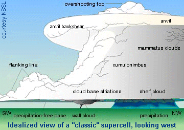
Supercell Schematic courtesy of NSSL/NOAA
Typical Components of a Classic Supercell Thunderstorm (Reference Picture Above)
- Flanking line
- Overshooting top
- Anvil
- Anvil back-shear
- Mammatus Clouds
- Cumulonimbus Cloud
- South Base Striations
- Shelf Cloud
- Precipitation-free base
- Wall cloud
- Precipitation
Related Articles:
- How tornadoes form
- Tornado facts
- Tornado Safety
- Lightning Safety
- Flood Safety
- Tornado Myths
- Lightning Myths
- Life cycle of thunderstorms
- Criteria for a tornado warning
- Criteria for a severe thunderstorm
- Difference between “flood” and “flash flood”

