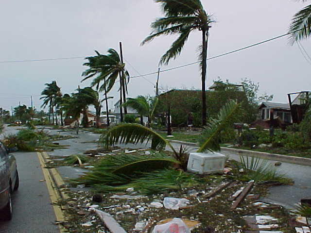
This article highlights FEMA recommendations for hurricane preparedness
after a landfalling hurricane. Click links for actions “
During a Hurricane” or “
Before a Hurricane”
After a Hurricane:
- Continue listening to a NOAA Weather Radio or the local news for the latest updates or alert notification services like iAlert.com/services
- Stay alert for extended rainfall and subsequent flooding even after the hurricane or tropical storm has ended.
- If you have become separated from your family, use your family communications plan or contact the American Red Cross at 1-800-RED-CROSS/1-800-733-2767 or visit the American Red Cross Safe and Well site: www.safeandwell.org
- The American Red Cross also maintains a database to help you find family. Contact the local American Red Cross chapter where you are staying for information. Do not contact the chapter in the disaster area.
- If you evacuated, return home only when officials say it is safe.
- If you cannot return home and have immediate housing needs. Text SHELTER + your ZIP code to 43362 (4FEMA) to find the nearest shelter in your area (example: shelter 12345).
- For those who have longer-term housing needs, FEMA offers several types of assistance, including services and grants to help people repair their homes and find replacement housing. Apply for assistance or search for information about housing rental resources
- Drive only if necessary and avoid flooded roads and washed¬ out bridges. Stay off the streets. If you must go out watch for fallen objects; downed electrical wires; and weakened walls, bridges, roads, and sidewalks.
- Keep away from loose or dangling power lines and report them immediately to the power company.
- Walk carefully around the outside your home and check for loose power lines, gas leaks and structural damage before entering.
- Stay out of any building if you smell gas, floodwaters remain around the building or your home was damaged by fire and the authorities have not declared it safe.
- Inspect your home for damage. Take pictures of damage, both of the building and its contents, for insurance purposes. If you have any doubts about safety, have your residence inspected by a qualified building inspector or structural engineer before entering.
- Use battery-powered flashlights in the dark. Do NOT use candles. Note: The flashlight should be turned on outside before entering – the battery may produce a spark that could ignite leaking gas, if present.
- Watch your pets closely and keep them under your direct control. Watch out for wild animals, especially poisonous snakes. Use a stick to poke through debris.
- Avoid drinking or preparing food with tap water until you are sure it’s not contaminated.
- Check refrigerated food for spoilage. If in doubt, throw it out.
- Wear protective clothing and be cautious when cleaning up to avoid injury.
- Use the telephone only for emergency calls.
- NEVER use a generator inside homes, garages, crawlspaces, sheds, or similar areas, even when using fans or opening doors and windows for ventilation. Deadly levels of carbon monoxide can quickly build up in these areas and can linger for hours, even after the generator has shut off.



