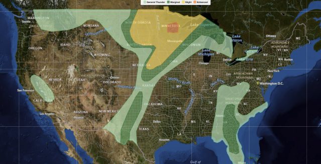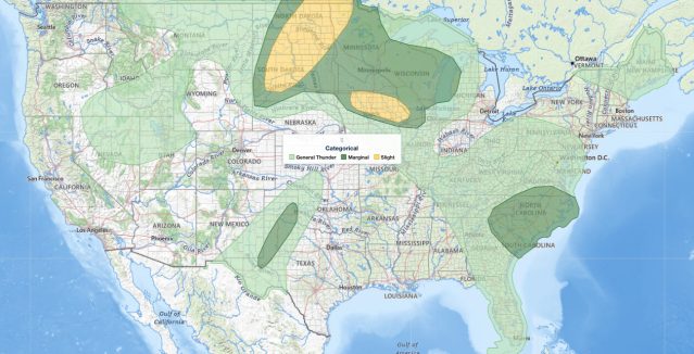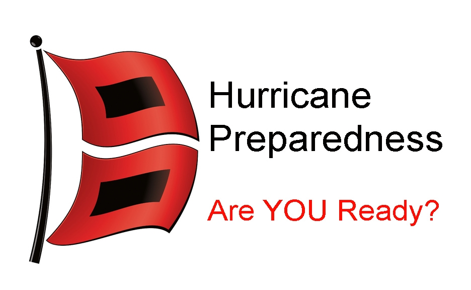
This article highlights FEMA recommendations for hurricane preparedness
during a landfalling hurricane. Click links for actions “
Before a Hurricane” or “
After a Hurricane”
During a Hurricane:
- Listen to the radio or TV for information.
- Secure your home, close storm shutters and secure outdoor objects or bring them indoors.
- Turn off utilities if instructed to do so. Otherwise, turn the refrigerator thermostat to its coldest setting and keep its doors closed.
- Turn off propane tanks
- Avoid using the phone, except for serious emergencies.
- Moor your boat if time permits.
- Ensure a supply of water for sanitary purpose such as cleaning and flushing toilets. Fill the bathtub and other larger containers with water.
- Find out how to keep food safe during and after and emergency.
You should evacuate under the following conditions:
If you are directed by local authorities to do so. Be sure to follow their instructions.
- If you live in a mobile home or temporary structure – such shelter are particularly hazardous during hurricane no matter how well fastened to the ground.
- If you live in a high-rise building – hurricane winds are stronger at higher elevations.
- If you live on the coast, on a floodplain, near a river, or on an island waterway.
Read more about
evacuating yourself and your family. If you are unable to evacuate, go to your wind-safe room. If you do not have one, follow these guidelines:
- Stay indoors during the hurricane and away from windows and glass doors.
- Close all interior doors – secure and brace external doors.
- Keep curtains and blinds closed. Do not be fooled if there is a lull; it could be the eye of the storm – winds will pick up again.
- Take refuge in a small interior room, closet or hallway on the lowest level.
- Lie on the floor under a table or another sturdy object.
- Avoid elevators.