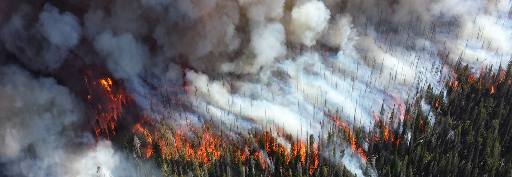
Wildfires can occur anywhere and can destroy homes, businesses, infrastructure, natural resources, and agriculture. For more information, download the
How to Prepare for a Wildfire guide, which provides the basics of wildfires, explains how to protect yourself and your property, and details the steps to take now so that you can act quickly when you, your home, or your business is in danger.
To download Wild Fire Safety Check List on PDF,
click here.
Wildfire Basics
- WHAT: A wildfire is an unplanned, unwanted fire burning in a natural area, such as a forest, grassland, or prairie. As building development expands into these areas, homes and businesses may be situated in or near areas susceptible to wildfires. This is called the wildland urban interface.
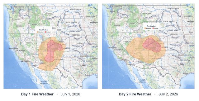
- WHEN: Wildfires can occur at any time throughout the year, but the potential is always higher during periods with little or no rainfall, which make brush, grass, and trees dry and burn more easily. High winds can also contribute to spreading the fire. Your community may have a designated wildfire season when the risk is particularly high.
- WHERE: Wildfires can occur anywhere in the country. They can start in remote wilderness areas, in national parks, or even in your back yard. Wildfires can start from natural causes, such as lightning, but most are caused by humans, either accidentally—from cigarettes, campfires, or outdoor burning—or intentionally.
Know the Risk
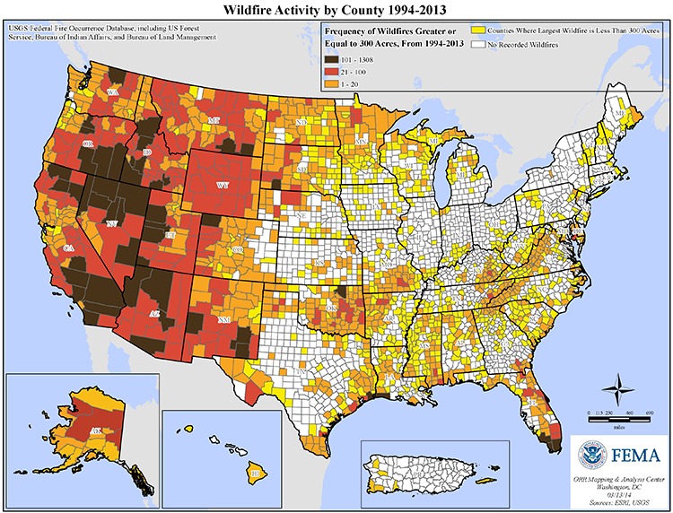
Do you want to have a better understanding of the wildfire risk you and your community face? Below is a map of the United States and the frequency of wildfires greater or equal to 300 acres in your county since 1994.
More Articles: