View All Articles

What is a Supercell?

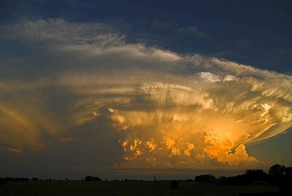
Supercell Example

Supercell (click to enlarge)

A Supercell is a severe thunderstorm with a deep, persistently rotating updraft (a mesocyclone). Supercell thunderstorms are the largest, most severe class of thunderstorms. It has been argued that there are really only two types of thunderstorms: supercell and ordinary, though some have four classifications: single-cell, multi-cell, squall line, and supercell. Supercells are usually found isolated from other thunderstorms, although they can sometimes be embedded in a squall line. Because they can last for hours, they are known as quasi-steady-state storms. Supercells have the capability to deviate from the mean wind. If they track to the right of the mean wind (relative to the vertical wind shear), they are said to be “right-movers.” Alternatively, if they track to the left of the mean wind (relative to the shear), they are said to be “left-movers.” Supercells can be any size, large or small, low or high topped. They usually produce copious amounts of hail, torrential rainfall, strong winds, and substantial downbursts. Supercells are one of the few types of clouds that typically spawn tornadoes within the mesocyclone, although only 30% or less do so. Supercells can occur anywhere in the world under the right pre-existing weather conditions.  
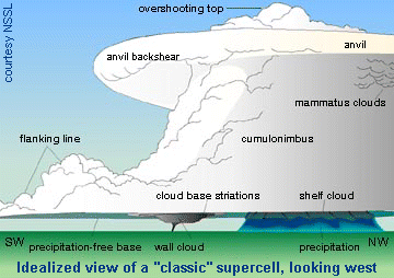
Supercell Schematic courtesy of NSSL/NOAA

Typical Components of a Classic Supercell Thunderstorm (Reference Picture Above)

  • Flanking line
  • Overshooting top
  • Anvil
  • Anvil back-shear
  • Mammatus Clouds
  • Cumulonimbus Cloud
  • South Base Striations
  • Shelf Cloud
  • Precipitation-free base
  • Wall cloud
  • Precipitation
 

Related Articles:

Sign-up For Severe Weather Email/Text Alert Notification Services

This entry was posted in Basic Meteorology, Weather Articles and tagged , , , , , , , , , , . Bookmark the permalink.

Leave a Reply

Read More

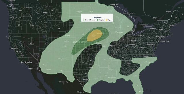
Nebraska Iowa severe storms SPC outlook map, Sept. 14, 2026: Slight Risk over Omaha and Des Moines inside a Marginal Risk

Nebraska Iowa Severe Storms: Slight Risk of Large Hail, Damaging Wind, and Tornadoes September 14, 2026

Nebraska Iowa severe storms are the main severe weather concern in the United States on Monday, September 14, 2026. The NOAA Storm Prediction Center (SPC) has placed eastern Nebraska into western and central Iowa under a…

Read More

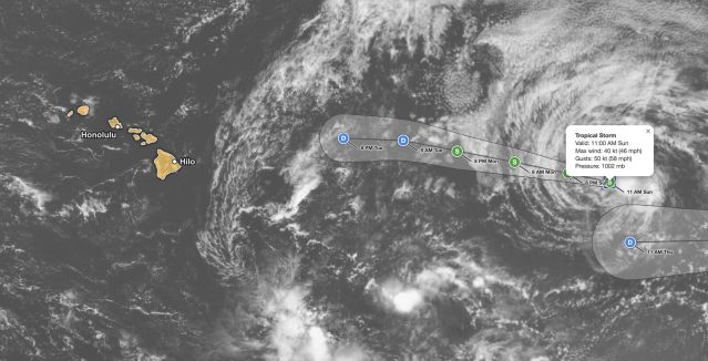
Tropical Storm Norbert forecast track on September 13, 2026, showing the 45 mph storm about 1,375 miles east of Hilo, Hawaii, weakening to a remnant low by Tuesday night

Tropical Storm Norbert Forecast: 45 mph Storm Weakens 1,375 Miles East of Hilo, Hawaii

iAlert hurricane tracker satellite view of the Tropical Storm Norbert forecast from the 11 AM HST advisory on Sunday, September 13, 2026, with the Hawaiian Islands highlighted. Green S markers show Norbert at tropical storm strength…

Read More

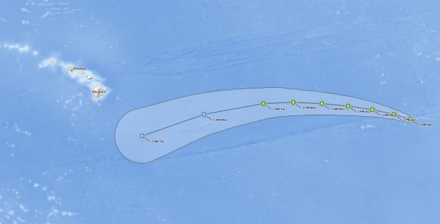
Tropical Storm Norbert forecast cone on September 12, 2026, tracking west over the East Pacific and weakening east of Hawaii

Tropical Storm Norbert Holds 60 mph Winds Far East of Hawaii, No Coastal Watches in Effect

iAlert hurricane tracker forecast track from the 5 AM HST advisory on Saturday, September 12, 2026. Green S markers show Norbert at tropical storm strength from Saturday through 2 AM Tuesday. Blue D markers show the…

Read More

Leave a Reply