View All Articles

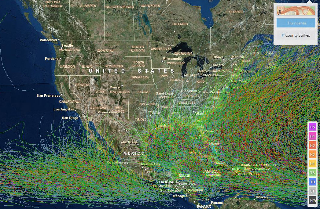
Historical Hurricane Track Viewer

Historical Hurrican Track Viewer Historical Hurricane Track Viewer >>  Click Here To Launch Viewer The Historical Hurricane Viewer is an interactive tool to see historical hurricane tracking information.  Features include: Historical Hurricane Track Viewer >>  Click Here To Launch Viewer
This entry was posted in Weather Articles and tagged , , , , , , , . Bookmark the permalink.

Leave a Reply

Read More

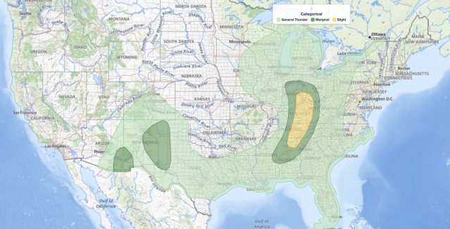
Ohio Valley severe thunderstorms outlook August 1, 2026: SPC Slight Risk from Cincinnati through Kentucky to north Alabama

Ohio Valley Severe Thunderstorms: Damaging Wind and Tornado Threat From Kentucky to North Alabama, August 1, 2026

Ohio Valley severe thunderstorms are the primary concern for August 1, 2026, as the NOAA Storm Prediction Center has issued a Slight Risk outlook across parts of the Ohio and Tennessee Valleys. The risk corridor starts…

Read More

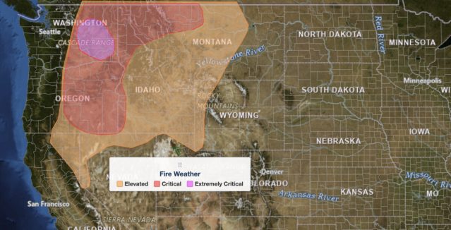
Extremely critical fire weather risk areas for Saturday, August 1, 2026. Elevated in orange, Critical in red, Extremely Critical in magenta. Source: NOAA Storm Prediction Center.

Extremely Critical Fire Weather Forecast for the Columbia Basin, August 1, 2026

Extremely critical fire weather risk areas for Saturday, August 1, 2026. Elevated in orange, Critical in red, Extremely Critical in magenta. Source: NOAA Storm Prediction Center Day 2 Fire Weather Outlook, mapped by iAlert.com. Extremely critical…

Read More

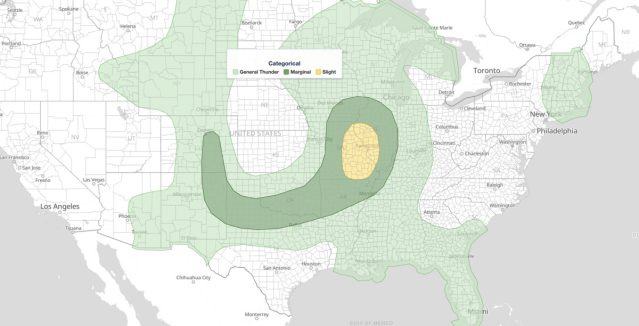
Ozarks severe thunderstorms Slight Risk area on the NOAA Storm Prediction Center Day 1 categorical outlook map for July 31, 2026

Ozarks Severe Thunderstorms: Slight Risk of Damaging Wind and Hail July 31, 2026

Ozarks severe thunderstorms are the headline hazard for July 31, 2026, as the NOAA Storm Prediction Center has issued a Slight Risk covering parts of the Ozarks and mid Mississippi Valley, with damaging wind gusts and…

Read More

Leave a Reply