View All Articles

Real-time Weather Observation Monitoring and Email/Text Alert Notification Service

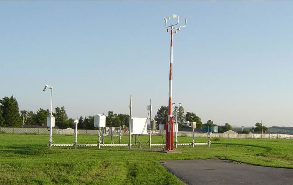
iAlert.com introduces the launch of the  Real-time Weather Observation Monitoring and Email/Text Alert Notification Service. iAlert.com monitors over 2,100 different surface observing systems across the U.S. offering a unique real-time weather observation alert notification service based on your needs and criteria. For example, you can receive email or text alerts if wind speeds reach 25 mph at one or more locations to protect a job site, or receive alerts if the temperature drops below freezing to protect plants, or even receive alerts if the temperature or heat index reaches 95 degrees to take precautions at sporting events. The type of monitoring alerts are many and customized to your needs. To use this service, login to your account and select the “Weather Observation Monitoring” tab to configure your alerts.  Not a member?  Click here to sign-up For more detail about the Weather Observation Monitoring service click here Related Articles:

This entry was posted in iAlert Functionality and tagged , , , , , . Bookmark the permalink.

Leave a Reply

Read More

Ohio Valley severe thunderstorms outlook August 1, 2026: SPC Slight Risk from Cincinnati through Kentucky to north Alabama

Ohio Valley Severe Thunderstorms: Damaging Wind and Tornado Threat From Kentucky to North Alabama, August 1, 2026

Ohio Valley severe thunderstorms are the primary concern for August 1, 2026, as the NOAA Storm Prediction Center has issued a Slight Risk outlook across parts of the Ohio and Tennessee Valleys. The risk corridor starts…

Read More

Extremely critical fire weather risk areas for Saturday, August 1, 2026. Elevated in orange, Critical in red, Extremely Critical in magenta. Source: NOAA Storm Prediction Center.

Extremely Critical Fire Weather Forecast for the Columbia Basin, August 1, 2026

Extremely critical fire weather risk areas for Saturday, August 1, 2026. Elevated in orange, Critical in red, Extremely Critical in magenta. Source: NOAA Storm Prediction Center Day 2 Fire Weather Outlook, mapped by iAlert.com. Extremely critical…

Read More

Ozarks severe thunderstorms Slight Risk area on the NOAA Storm Prediction Center Day 1 categorical outlook map for July 31, 2026

Ozarks Severe Thunderstorms: Slight Risk of Damaging Wind and Hail July 31, 2026

Ozarks severe thunderstorms are the headline hazard for July 31, 2026, as the NOAA Storm Prediction Center has issued a Slight Risk covering parts of the Ozarks and mid Mississippi Valley, with damaging wind gusts and…

Read More

Leave a Reply


