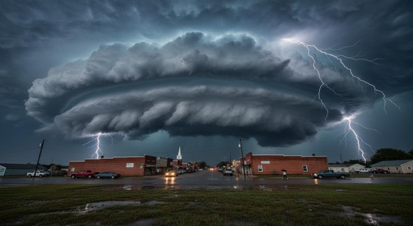
…THERE IS AN ENHANCED?RISK OF SEVERE THUNDERSTORMS?ACROSS PARTS OF THE LOWER/MID ?MISSISSIPPI VALLEY….OHIO VALLEY… AND MID-SOUTH…
…THERE IS A SLIGHT?RISK OF SEVERE THUNDERSTORMS FROM MUCH OF THE MISSISSIPPI VALLEY EASTWARD ?TO THE UPPER OHIO VALLEY AND CENTRAL APPALACHIANS…
…THERE IS A MARGINAL?RISK OF SEVERE THUNDERSTORMS FOR MUCH OF THE GULF COAST NORTHWARD?TO THE UPPER GREAT LAKES…
The potential for severe thunderstorms will extend from the Central Gulf Coast to the lower Great Lakes Region today and tonight. ?The greatest potential for severe thunderstorms is forecast across the mid-south into parts of the Ohio Valley, where Tornadoes, Some SIGNIFICANT, along with Damaging winds and hail will be possible.
Sign-up now to receive email and text alerts before the storms….click here for severe weather email/text alerts
Related?Articles:


